How it works
A boundary, a phone that crosses it, and a card
There is no beacon to install, no camera, no wristband and no scanning. The course is a set of shapes on a map, the golfer’s phone reports where it is while they play, and everything else follows from those two facts.
We draw the holes
Your course is modelled once as a set of hole boundaries on a map. Tees, fairways and greens can be separate units, and a green can borrow the sponsor from its hole so nobody types the same address nineteen times.
A golfer joins
They install WilDi Golf and type the code from the tee sign, or scan the QR on it. Joining is where consent is given, and it carries a stated horizon: the event has a window after which the device stops being tracked for it.
The phone crosses a boundary
The app reports its position while the golfer plays. When a fix lands inside a hole, that hole's sponsor card is delivered to the phone. A phone off the property gets nothing.
One card, once
A golfer receives a given sponsor's card once, not on every fix and not on every lap. That is a hard constraint in the data, which is why the delivered count can never be inflated by someone lingering.
The taps are recorded
Call, website, email, directions and "I'm going" are each recorded separately, along with whether the message was opened and whether the phone was still on the hole a minute later.
The visit is the proof
The sponsor's street address is geocoded to a small map cell when the sponsorship is set up. If a phone that received the card later turns up in that cell, it is recorded as a visit to that sponsor.
What the golfer sees
Three screens, and that is the whole app
A golfer never has to learn anything. The hole they are on is the screen they land on, the conditions are one tap away, and check-in is a list of names.
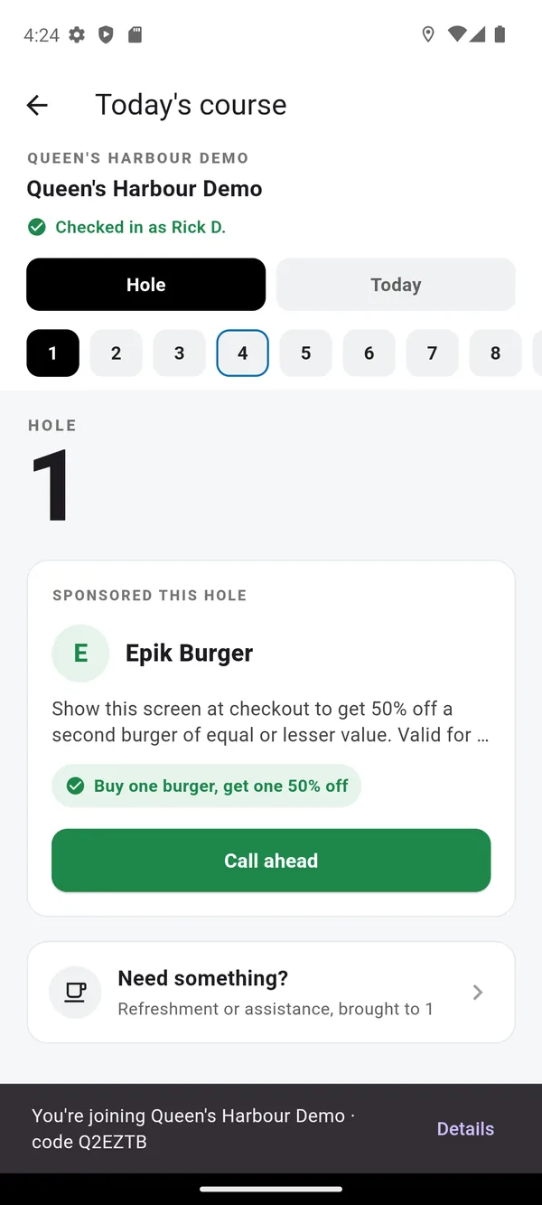
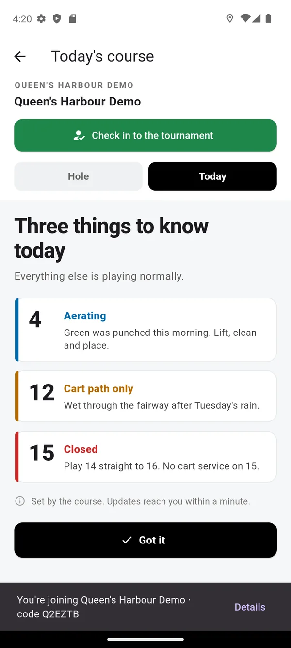
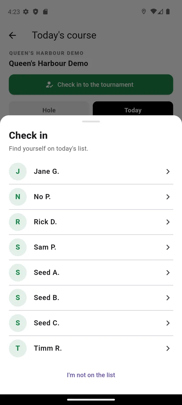
Check-in is only offered inside the course boundary, so a golfer cannot check in from the parking lot of another club. Names other attendees can see are a first name and a last initial, never the full roster.
What the course sees
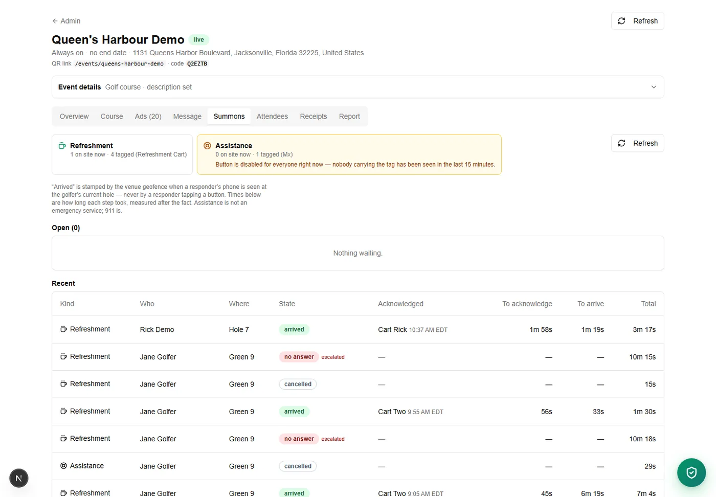
A live count of phones, and a request that closes itself
The console tells you how many phones the geofence currently sees and which hole each is on. It does not tell you how many people are on your course, it will not predict when a hole will clear, and it does not guess. A system that guesses is a system a marshal trusts on the day it is wrong.
The weather layer is public precipitation imagery and National Weather Service warning polygons, each stamped with the time it was measured. It is not lightning detection, it is not a safety system, and nothing drawn on it is an all-clear.
See it on your own course
We will walk a real course in the console with you and show you the card, the conditions and the report end to end.